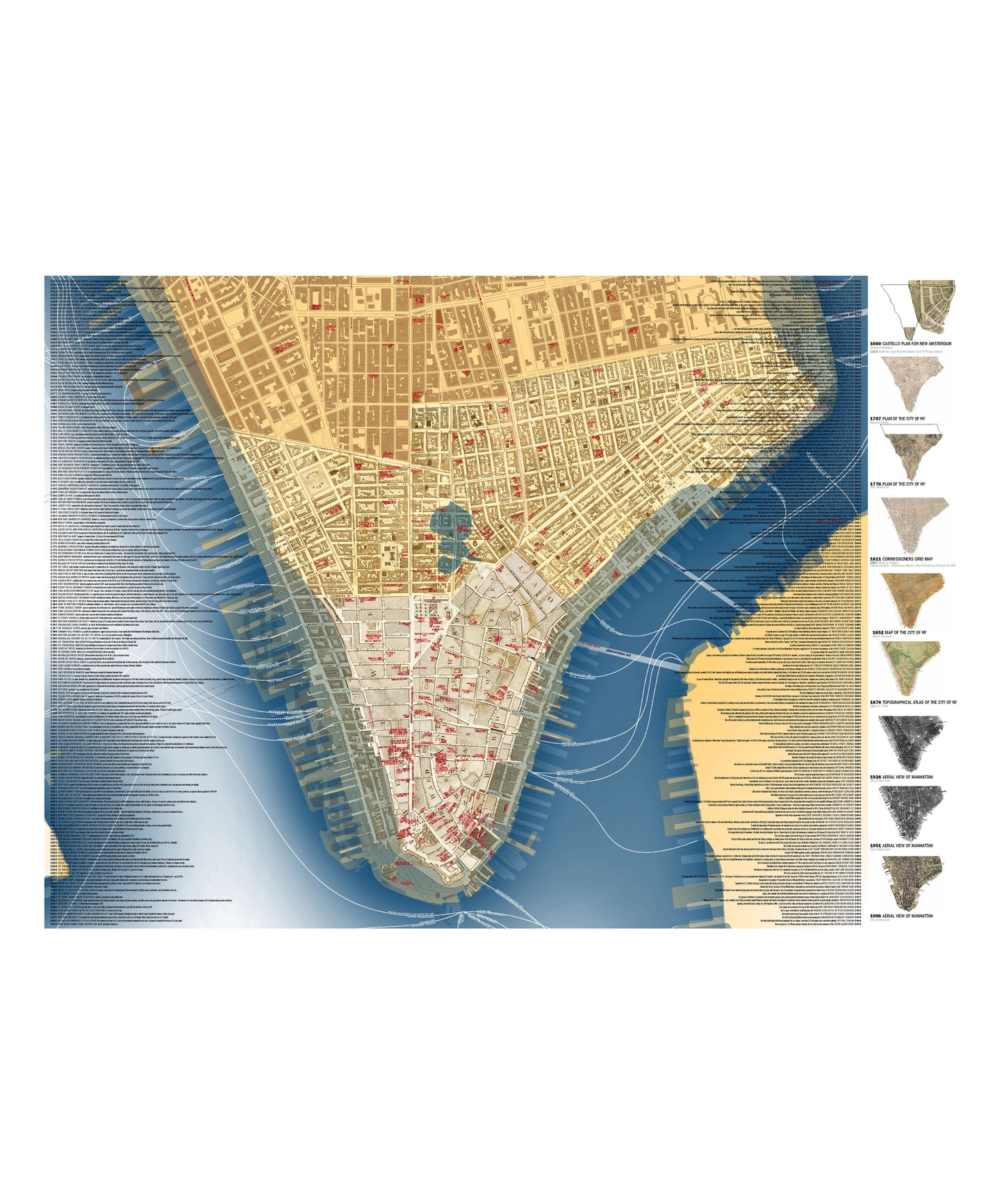
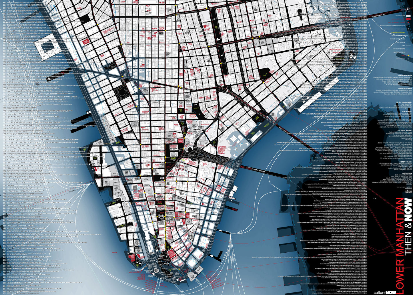
The map overlays five of the iconic historical maps that have defined this neighborhood. In the winter of 1766-67 as British soldiers were arriving to quell the restive population, General Gage tasked Lieutenant Bernard Ratzer with surveying the city.The 1811 Commissioners Map gridded the city.By 1852 the city had extended north to 50th Street and John F. Harrison created the first map that showed the buildings on it.Egbert L Viele’s topographical map of 1867 showed the watercourses in the city and is still used today.The water’s edge has been changing as the piers have given way to landfill.